Cave Creek Canyon and the Chiricahua Mountains
One of the fun things about staying in the mountains is that, just a short drive away, you can find wonderful sights you might drive for hours to see at other places. Cave Creek Canyon, which is managed by the U.S. Forest Service as part of Coronado National Forest, is such a place.

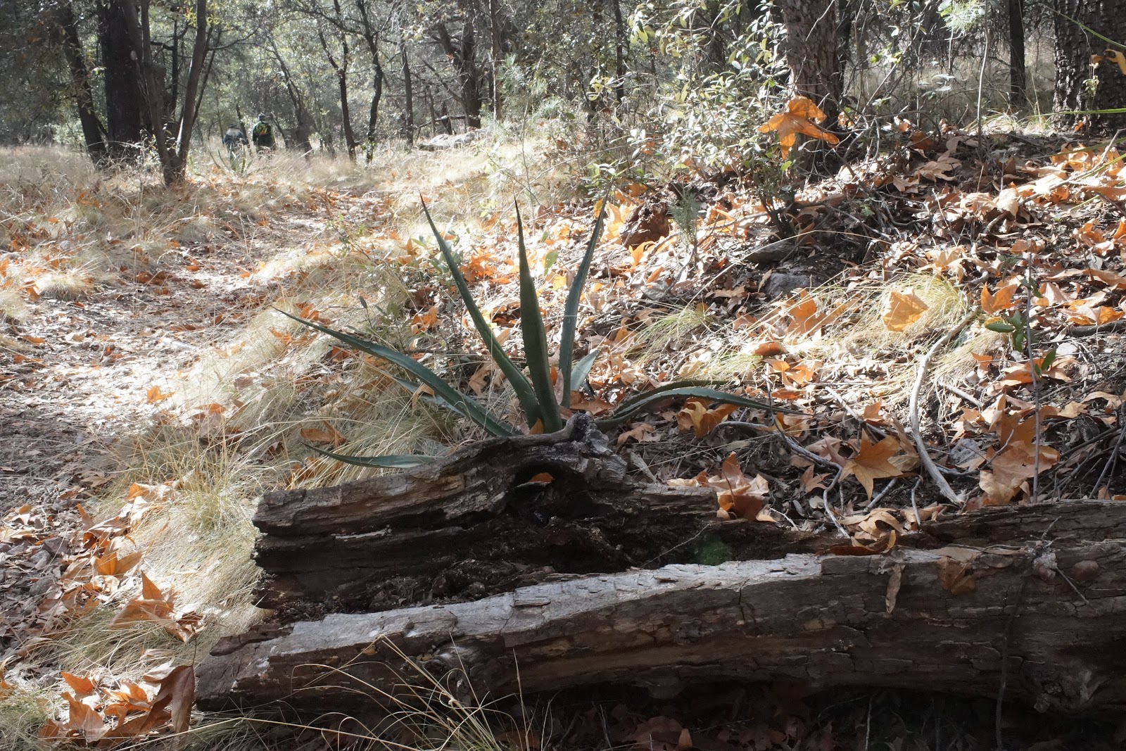

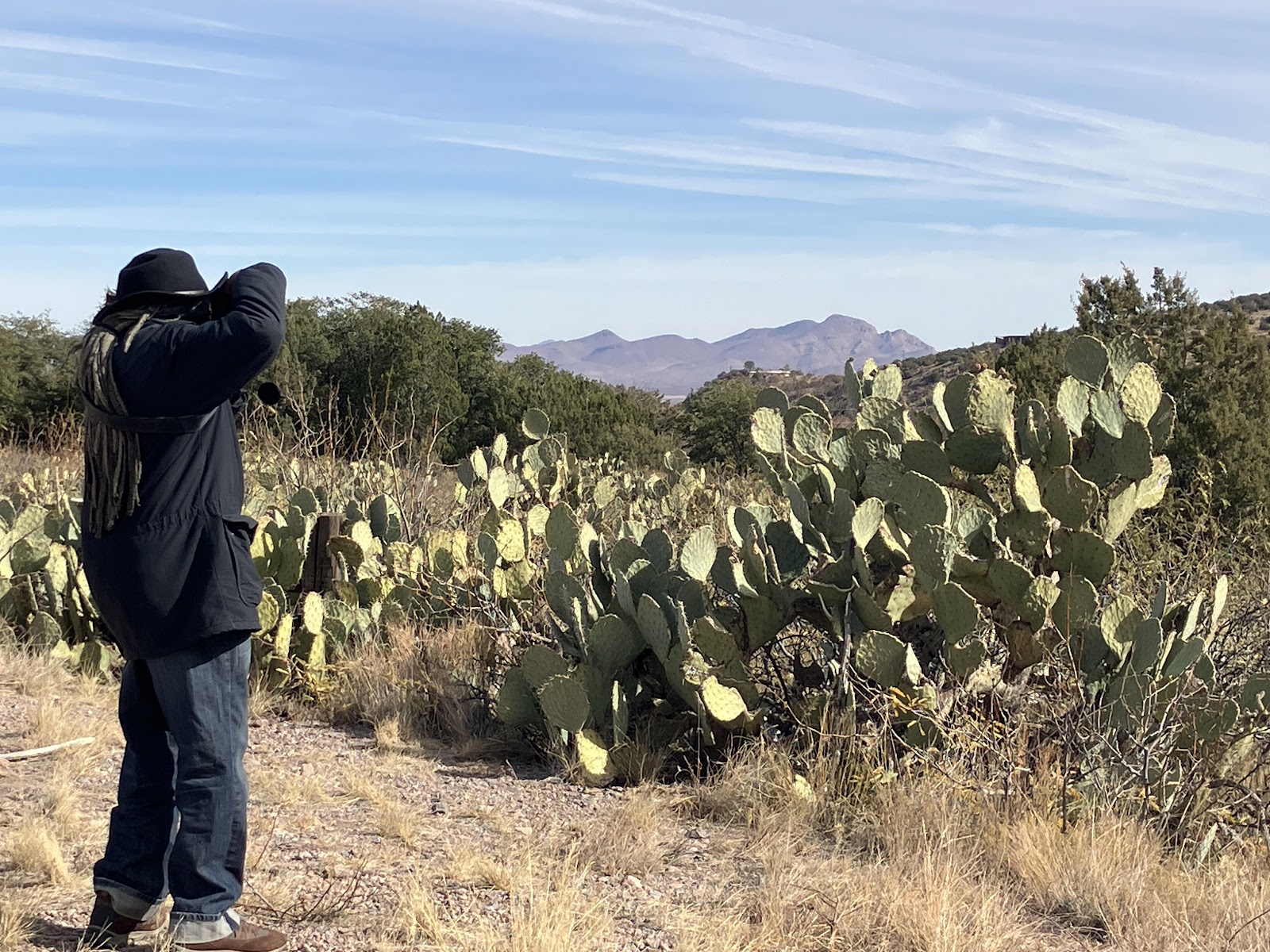
We drove into the mountains with Sajad as a guide, and discovered that the road curves downward into a canyon and a lush wooded forest. There are some homes, private property along the way, with cattle grazing close to the road. There is also a creek bed which is almost dry at this time of year but as can be seen from the bank, it must be full and roaring after the rainy season in spring. There is also evidence of an old mining operation. When we were there it was quiet, with only a few hikers besides ourselves, with a sort of meditative atmosphere in the woods.


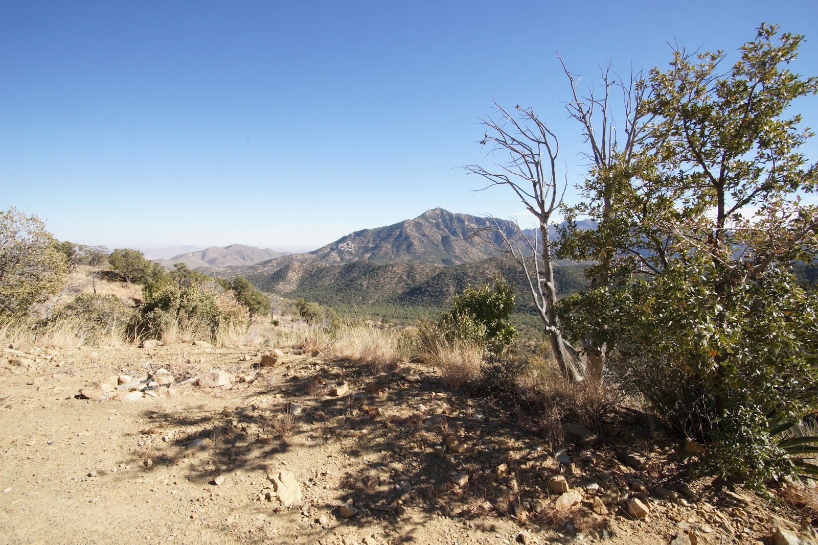
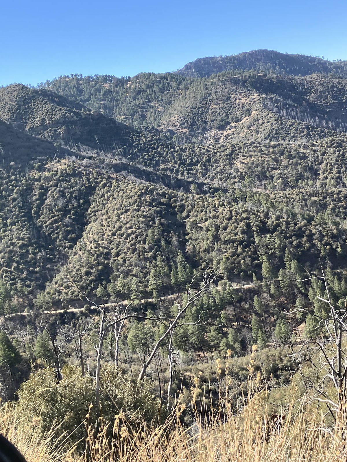
The road led up the mountain, around and back down. In this area, there were cattle right on the road, not merely in fields alongside the road. We had seen warning signs about roaming cattle all over the area but this is the first time we actually had to stop and sometimes turn out for them. A deer dashed perilously close to the car across our path, too.


Besides breathtaking mountain views, we could see evidence of some wildfire damage, at least a few years old, I'd say.
Though it
took several hours, the distance was in reality less than 20 miles. On a map the road looks deceptively like a
short, straight line from Portal to the Chiricahua National Monument.
When we got
to the National Monument, we really could not spend much time looking around
because the drive up and through the mountains had taken so long that it was
time to head back. No way were we going
back over the mountain again, as it would have been nearly dark by the time we
arrived, so we took the GPS route and went around, which took hours
anyway. The Monument itself looks like
it would be worth a look at some point, though.
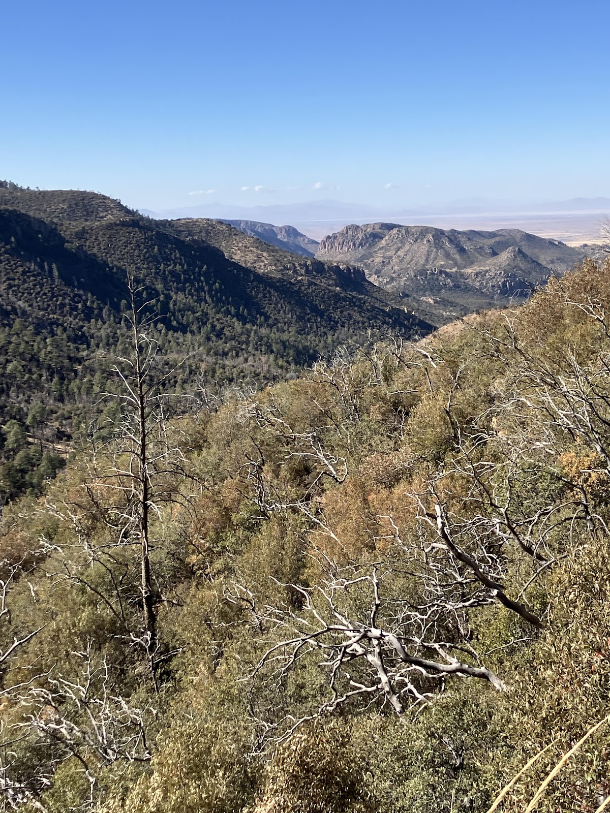
The towering rock formations are volcanic in origin, cooled and
solidified ash from long-ago eruptions.
Signage: Bumper sticker spotted in Douglas, AZ: Watch out for the idiot behind me!


Comments
Post a Comment