Color Tour - Passing Through B.C. and Yukon Territory 9.26.24
We have been to the Yukon before. It was in 2012, when we traveled with four of the girls to Skagway, Alaska. I have copied my description of that trip below, since it was written before I started this blog. Be forewarned - it is long. Everything out here is big, including my descriptions.
Watson Lake is one of the towns we went through then and
just this week. Thus, we have seen the
Northern Lights Centre and one or two of the historical museums. This time we were just passing through, but
there is something everyone who visits this town does – visit the Signpost
Forest.

It was started by a homesick soldier who had been rotated Stateside due to an injury. He was instructed to put up a signpost, and on a whim he added a sign pointing to his hometown, Danville, Illinois. Other people started putting up signs and over the years the custom grew. There is now a visitors’ center, and they will give you a board and materials to mark it if you didn’t bring your own sign. We put one up in 2012 and I would love to have found it, but it was in the low 40s and rainy, and I had no idea where we would have put it except that it was way in the back – which doesn’t narrow it down much, since there are now upwards of 77,000 road signs posted! Like I said, things are done in a big way out here. However, if you look at the Yukon Exposure post I have added to this blog, you will see a photo of our sign, taken 12 years ago!

“Color tour” is what they call it in the Midwest, when people take a short road trip, a weekend or a bit more, to see the fall foliage. We have taken the tour around Lake Michigan. There are “Lake Michigan Circle Tour” signs so you don’t even really need a map. The color is fantastic, the motels are full and the deer are out in force. We hit one of those with a new car on a short but memorable trip many years ago.
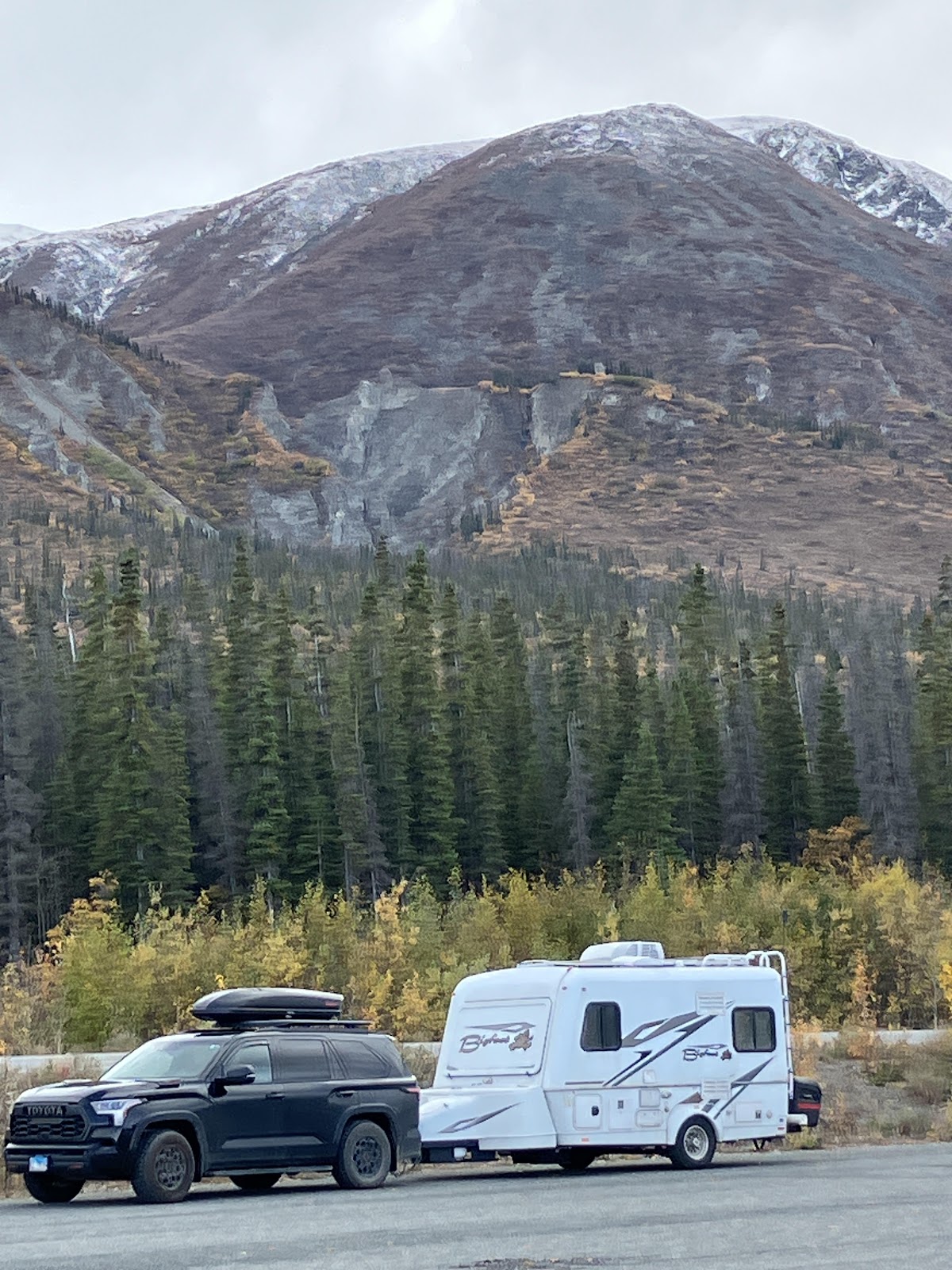
In British Columbia, so much of the greenery is evergreen
that the fall colors are quite different.
Bright yellow poplars are predominant. They contrast sharply with the thick dark
green carpet that covers the mountains.
Closer to the ground there are other plants in subtle red and mauve
shades. I realize these photos don’t
begin to show the colors as they really are, but pull-outs with views tend to
focus on the mountains, not the meadow areas closer to the highway.

South of Watson Lake, we had driven through a huge wildfire area. Thousands of acres were covered in blackened, needleless evergreen trunks, with the poplars along the road almost blindingly yellow and gold. Talking to the women at the visitors’ center in Watson Lake, I learned that well over 60,000 acres had been destroyed in two consecutive fires about a year and a half ago. I also learned why the poplars are so prevalent and why they are the first to come back after a fire. They are really all one organism, with connected roots reaching way underground, so they don’t burn up completely and they come back quickly. They are beautiful but apparently so hardy you wouldn’t want them in your yard as they would take over. I regret not getting a photo of the black and gold forests.
Whitehorse has changed a lot in 12 years, expanding with a
lot of new construction. One benchmark
we used was, when we were there last, there was exactly one Chinese restaurant
in town; now there are several, and a lot of other new businesses as well. We were able to boondock in the parking lot
of a Real Canadian Superstore, which I may have mentioned in an earlier
post. It is a huge Canadian chain
supermarket with many no-name products. This
may keep costs down, but it makes for an exhausting shopping experience, with
many aisles full of identical yellow labels with black lettering, requiring
careful reading. Still, one should never
argue with free camping opportunities.

In this area, continuing north and west towards and beyond
Whitehorse, highway 37 skirts the Cassiar Mountains, which are east of the
Coastal Ranges. Who in the U.S. has even
heard of the Cassiar Mountains? They do
not appear on my trusty road atlas, and on other maps, they are indicated with small
letters and little other marking. So I
expected small mountains, but these are spectacular, huge, extensive, and wild. Sometimes you will see three or four peaks in
a sawtooth formation, which reminds me of the signal fires that were lit in “Lord
of the Rings,” when Gondor called for help.
The photos below were all taken at one rest stop. From every angle, anywhere I turned, there
was heart-stopping beauty.


Gas prices:
I stopped keeping track after we paid $1.92 Canadian per
liter in Whitehorse, which works out to $5.40 US per gallon. It makes no sense to me that we are paying
more for gas, considering that we are closer than we’ve ever been to where the
gas actually comes from. Coming into
Alaska, we ground our teeth and expected the worst, but it’s actually not bad,
less than it has been in Chicago lately:
$3.72 in Tok, $3.45 in Fairbanks.
Signage:
No explicit lyrics before 10 pm – Oasis Restaurant and
Lounge, Fairbanks, AK (I’m not sure whether this was tongue in cheek or not,
but it’s funny either way.)
Businesses: Mr. Pain
Deep Tissue Massage Therapy, Whitehorse, Yukon Territory
The Bun Also Rises - Bakery in Fairbanks, AK
"Space ship out of jet fuel" - Hand-lettered cardboard sign held by panhandler on Johansen Expressway in Fairbanks


Comments
Post a Comment